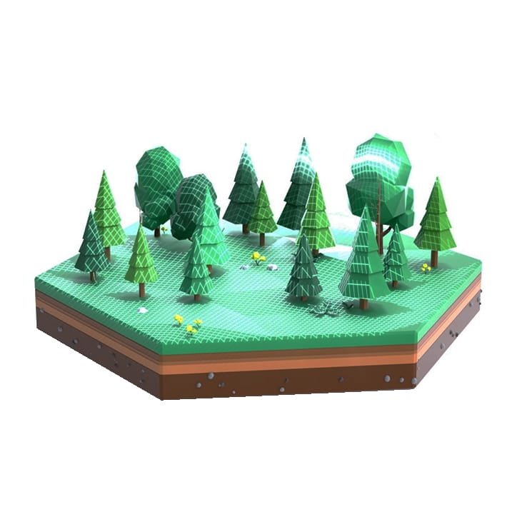
Drone forest scanning, GPS tree tagging, 3D tree modeling
technology
Optical imaginary, Lidar cloud point data, AI based algorithms
Impact
Exceptional accuracy, Faster data acquisition, Cost effective
Standard
CO2CCS & VCO
Our drones are able to scan more than 800 hectares of forest land per day. For our Pilot, we focused on a smaller plot of 100 Ha to fully validate our entire process. Once collected, the data and image footage of the trees are processed through our AI optimized cloud software. Then added as tokenized carbon credits assets to the CO2.CAPITAL vault. From the vault, the carbon credits become immediately tradable.
Market Innovation
Costs vary according to project type, scale, and complexity. All upfront costs are taken care of by CO2.CAPITAL, including token issuance costs. Additional costs come from project implementation, third-party reviews by approved validation and verification bodies, certification review fees are paid out of the profit generated by trading the carbon credits represented by the digitalized trees.
generating the highest quality carbon credits
provide a host of socio-economic “co-benefits”
projects are implemented in an industrial way
ecologically and socially responsible
“We work with family, industrial and tribal landowners to generate carbon credits which provide real financial value, increase and diversify revenues for timber landowners.”
Thomas Unger
tom@co2.capital - 15 Dec, 2021
Drone Lidar tree data acquisition
Using technology to
protect every single tree
Our certification provides additional long-term benefits when the forest health has been verified over a 12-month period through satellite imagery.
More frequent extreme weather events and hurricanes can also impact the health and diversity of the forest. Projects aim to mitigate environmental impacts caused by forest exploitation; restore areas with severe erosion or those affected by disease, fire, and pests; and protect and prevent damage by fires, grazing, and illegal use of forest resources. The landowner locally manages the project.
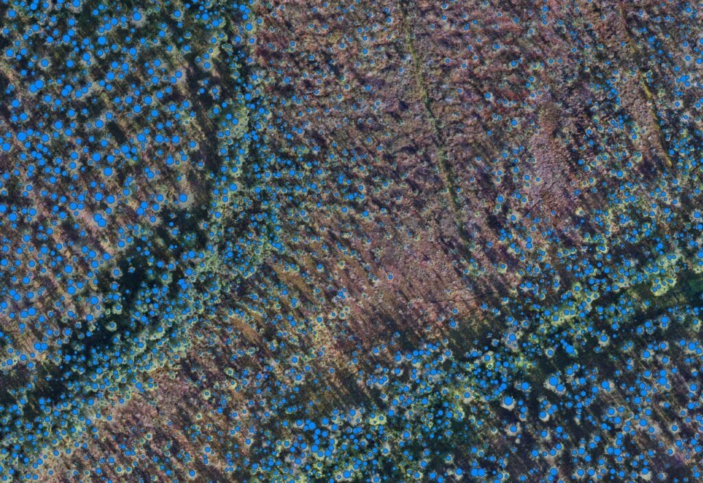
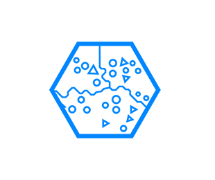
AI tree species recognition, localization and carbon sequestration calculation (blue dot size)